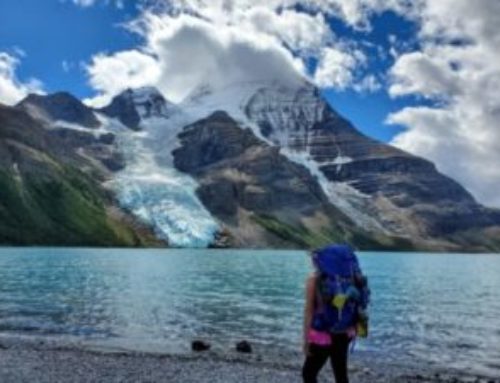
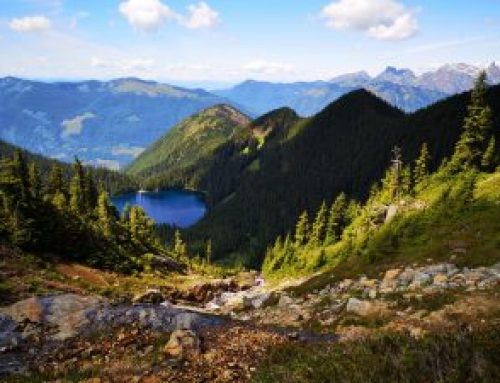
It was only about a couple of years ago that I realized Vancouver Island had some big beautiful mountains to hike. Strathcona Provincial Park became very interesting to me after I did a quick hike to Myra Falls. Soon after I realized this park was home to many epic backpacking trails.
To be honest, I had a couple of other backpacking trips in mind other than Mt. Albert Edward, so it was interesting that we ended up deciding on this trip. Upon research, I could not find many photos of this hike, so my expectations were low. I’m so glad we went because the scenery and views far exceeded my expectations. So let’s get into the details. I’ll start out by how to plan for this trip.
How to Reserve
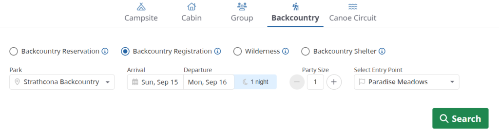
In order to camp at one of the campgrounds in Strathcona Park you just need to reserve a backcountry permit on the BC parks website. On the main website click on “Backcountry” then “Backcountry Reservation” and choose Paradise Meadows as your entry and exit point (as shown in the picture below).
Then the tent pads are first come first serve. Arrive earlier to claim a tent pad in your desired location. For us it made the most sense to get a spot by Circlet Lake to be closest to the trailhead for Mt. Albert Edward plus it has 60 tent pads to choose from scattered in the forest, along Circlet Lake and a few by Duck Pond. You can also choose to camp at Kwai Lake or Lake Helen Mackenzie.
If you are coming from the Lower Mainland of BC, be sure to reserve your ferry well in advance during the summer months, especially if you are going on a long weekend like we did. You can either take the ferry out of Tsawwassen to Nanaimo Duke Point or Horseshoe Bay to Nanaimo Departure Bay. Reserve your ferries on the BC Ferries website.
Day 1: Hike from Paradise Meadows trailhead to Circlet Lake Campground
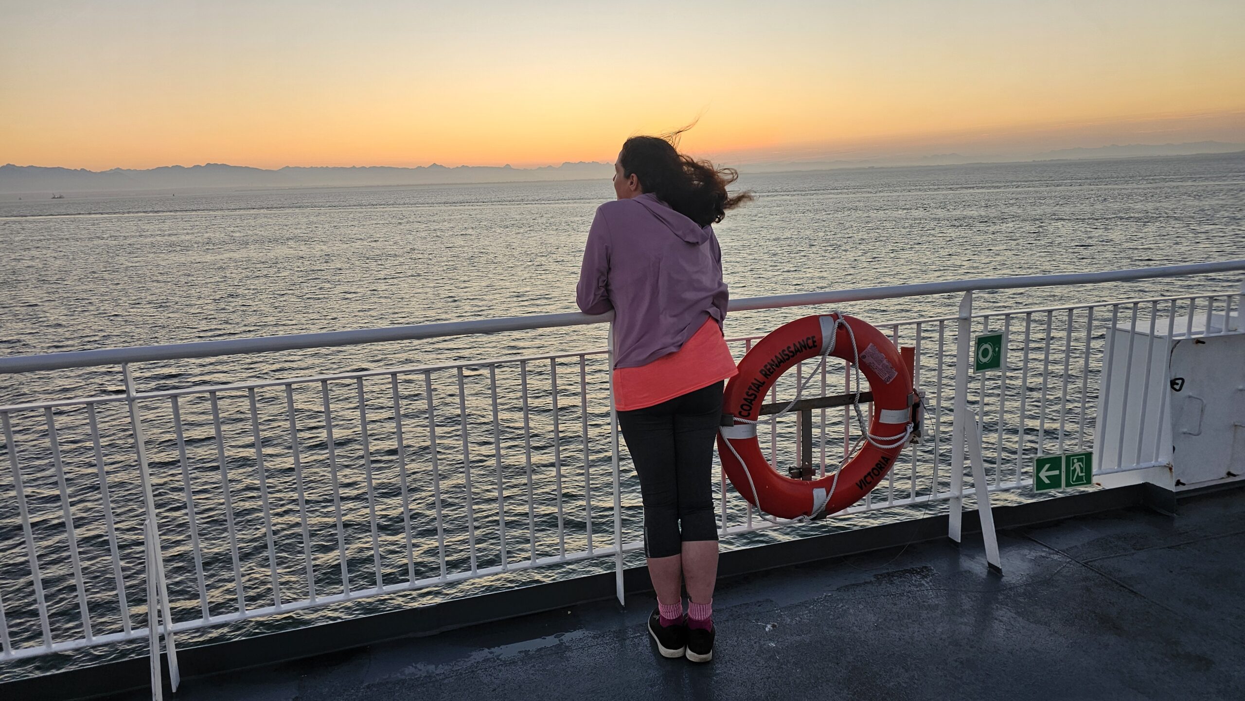
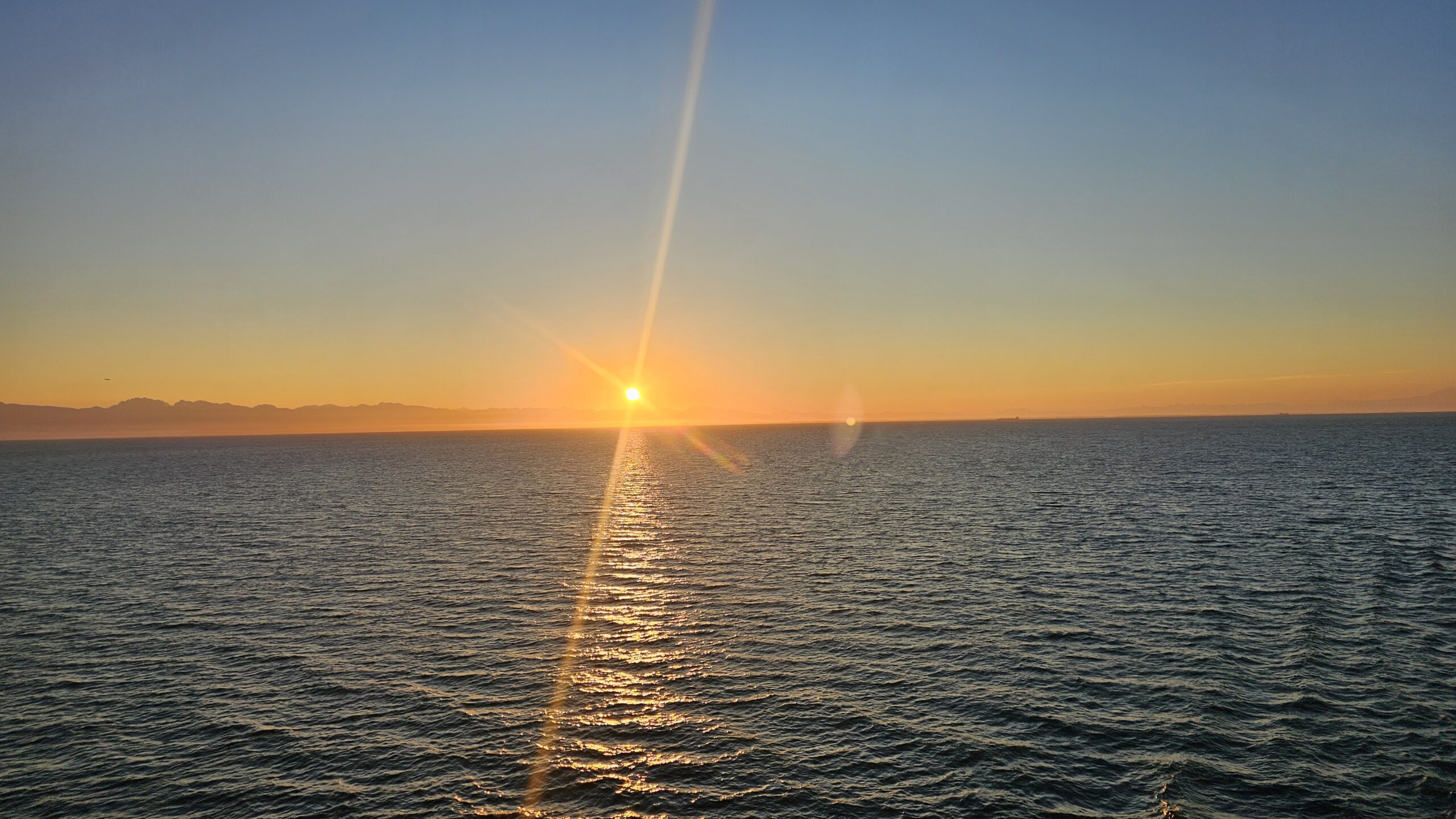
We took the first ferry 5:15am from Tsawwassen arriving in Nanaimo at 7:15am. It was so nice to watch the sunrise on this ferry. I even saw an orca! I wish I would have gotten a picture of it.
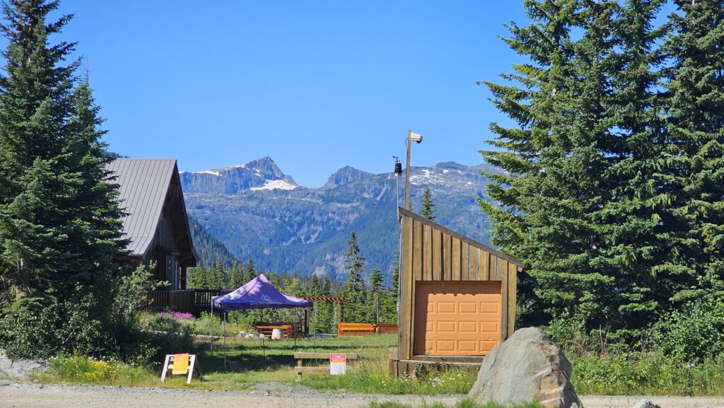
Then we headed up to Comox BC to Mt. Washington. The trail starts up at Mt. Washington at the Forbidden Plateau/Paradise Meadows trailhead. It starts off relatively easy with many flat sections and board walks. This area is popular for day hikers so it was definitely busy on the trails.
You can find a copy of the trail map here from the BC Parks Website. Even though the trail is well marked I always recommend downloading an offline map just in case. Here’s the one I used from AllTrails (you do need a subscription to download offline maps though).
Looking over at Mt Albert Edward from the parking lot. The peak on the left.
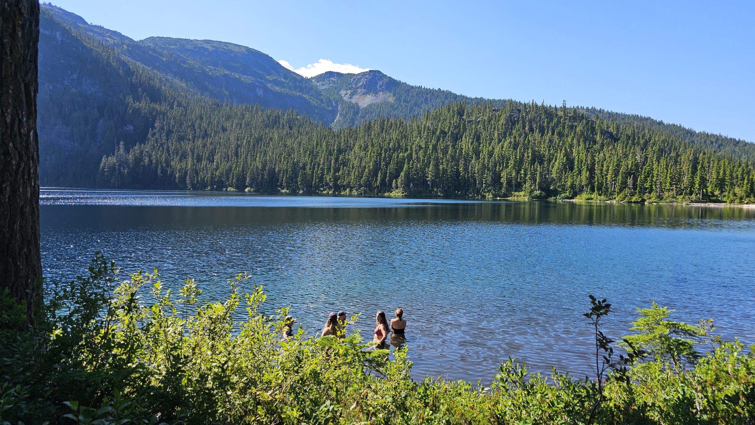
As you continue the trail towards Circlet Lake you experience more ups and downs on the trail. It was really hot the weekend we went so we couldn’t wait to get to camp and get in the lake for a dip.
The hike to Circlet Lake is: 11.5km with 400m elevation gain and it took us just over 3 hours to hike at a moderate pace.
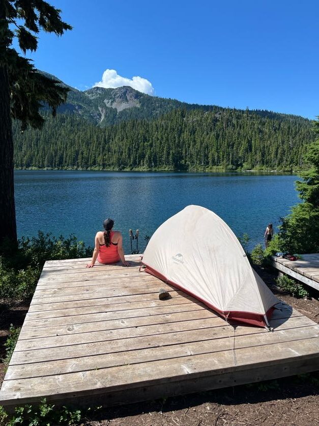
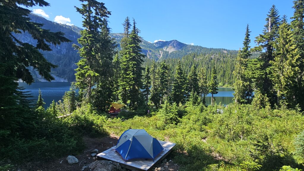
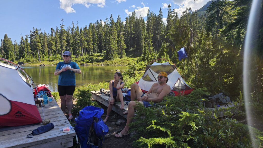
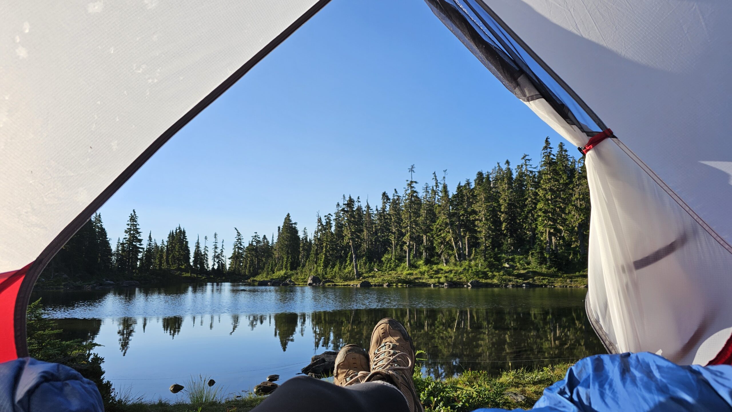
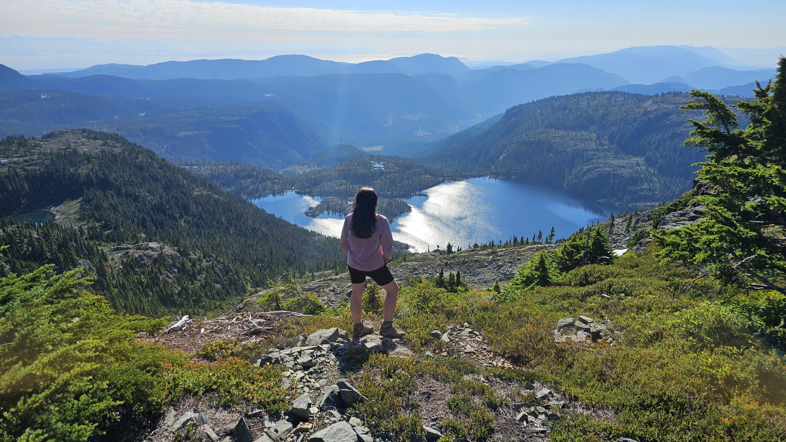
These first 2 pictures are some of the tent pads at Circlet Lake. Our friend Lee got this magical spot over looking the lake, which we also used as our beach area for our dips in the lake.
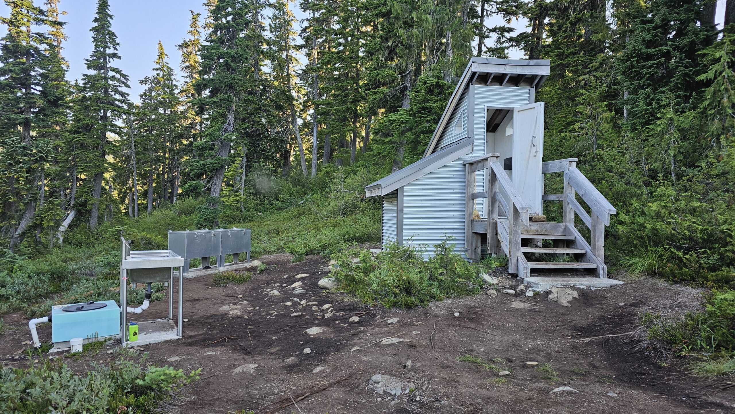
Most of us ended up camping at Duck Pond right beside Circlet Lake because we wanted to have our tent pads together, plus it was nice being a bit closer to the bear bins, outhouse and sink (always appreciated when you actually can wash your dishes in a sink and have somewhere to dispose of your grey water).
Day 2: Hike from Circlet Lake to Mt. Albert Edward.
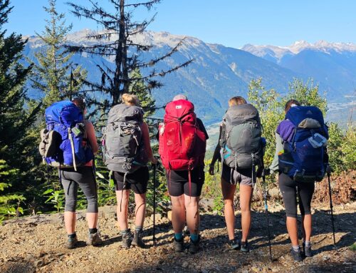
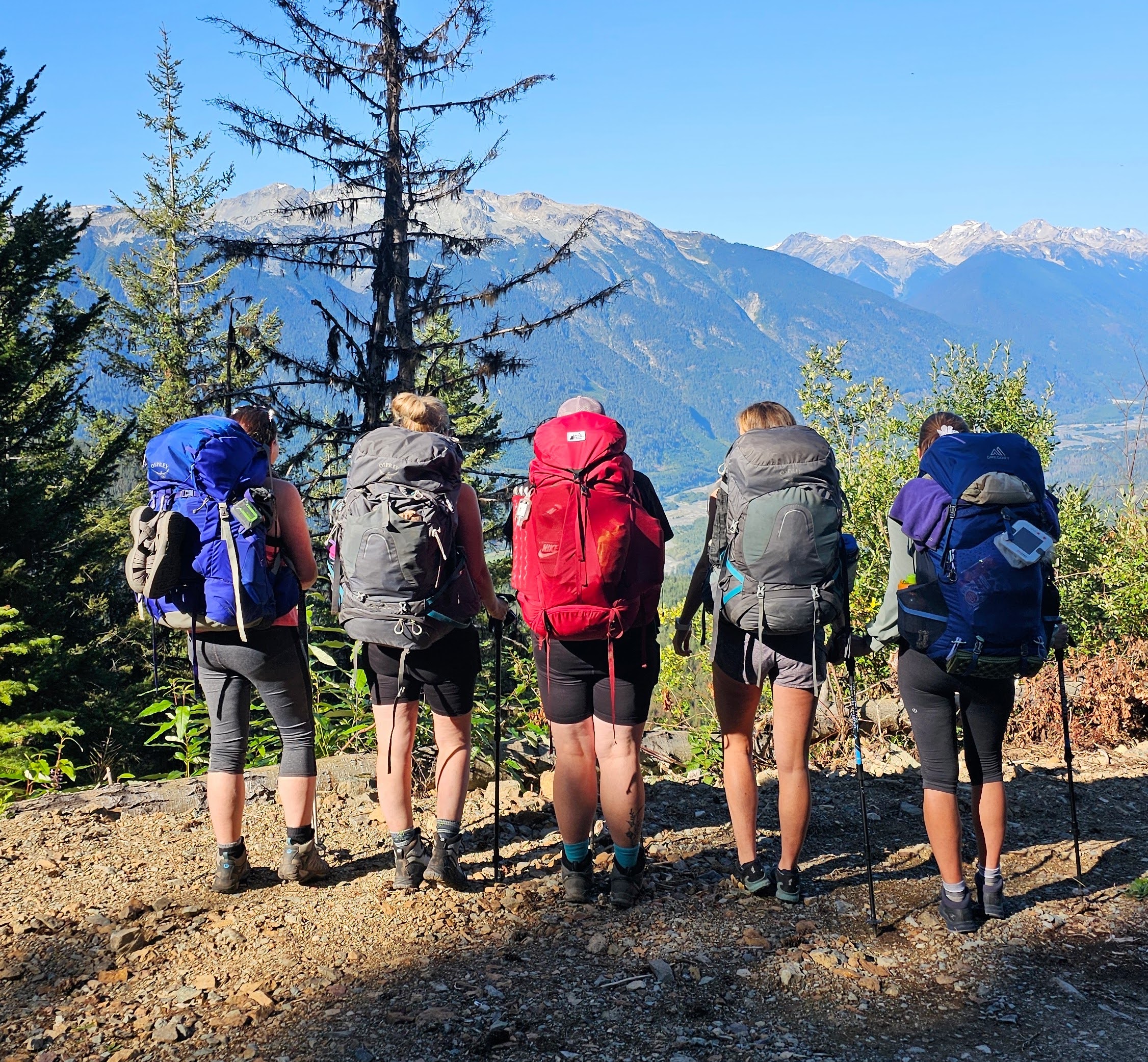
The next day we got up early in hopes to beat some of the heat. We knew we had a grueling hike ahead that day, however, we were happy we could do this hike without our big packs. (Kudos to the people who we saw doing the Auger Point Traverse hike carrying their big packs this whole hike)
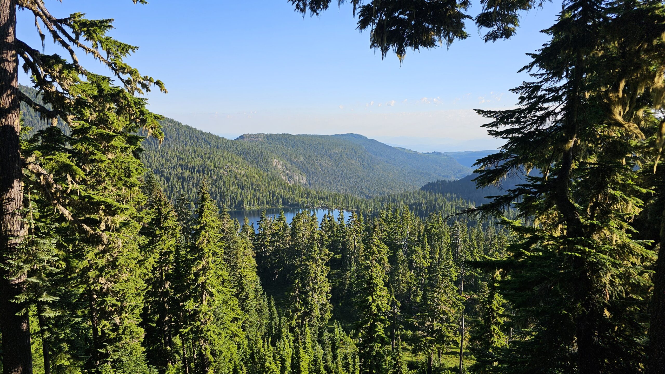
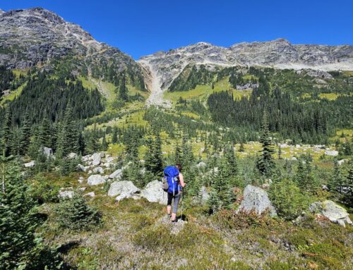
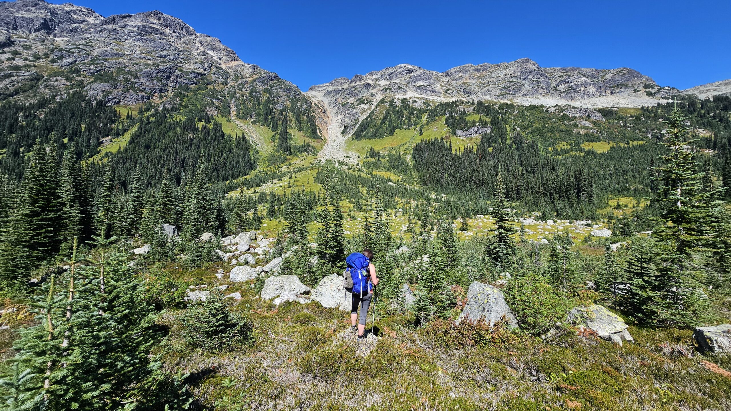
The hike starts off super steep almost instantly through the forest. It’s not too long though that you begin to be rewarded with views above all of the lakes and surrounding mountains.
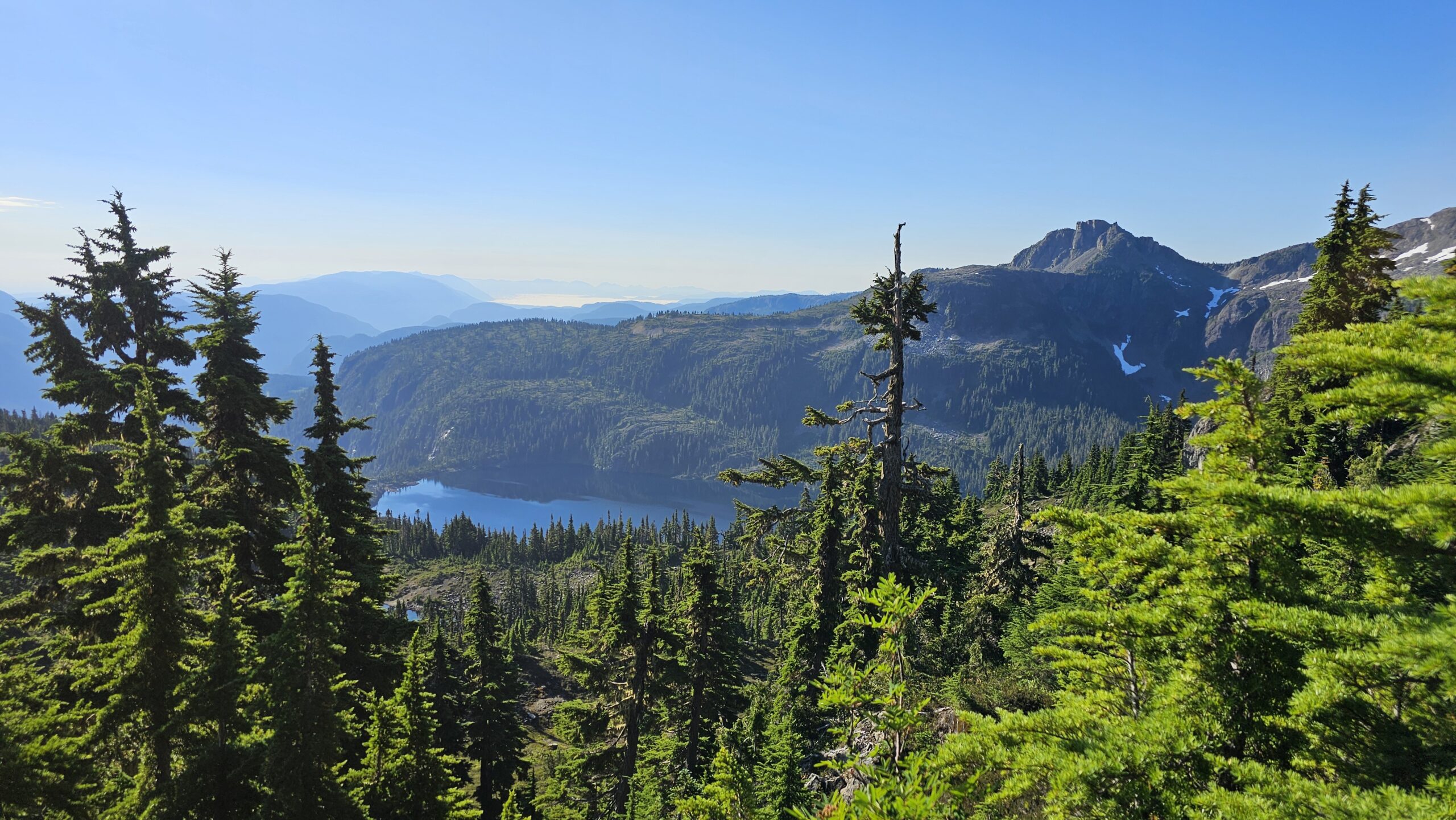
Views you see almost instantly.
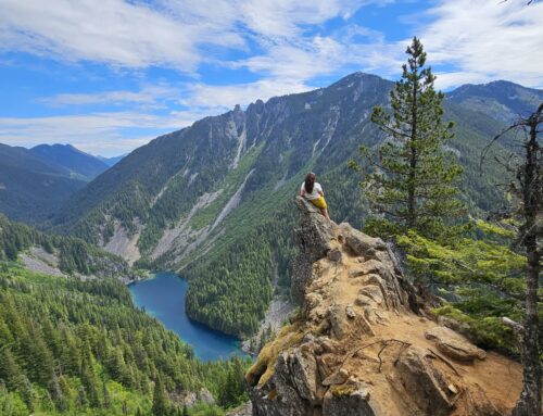
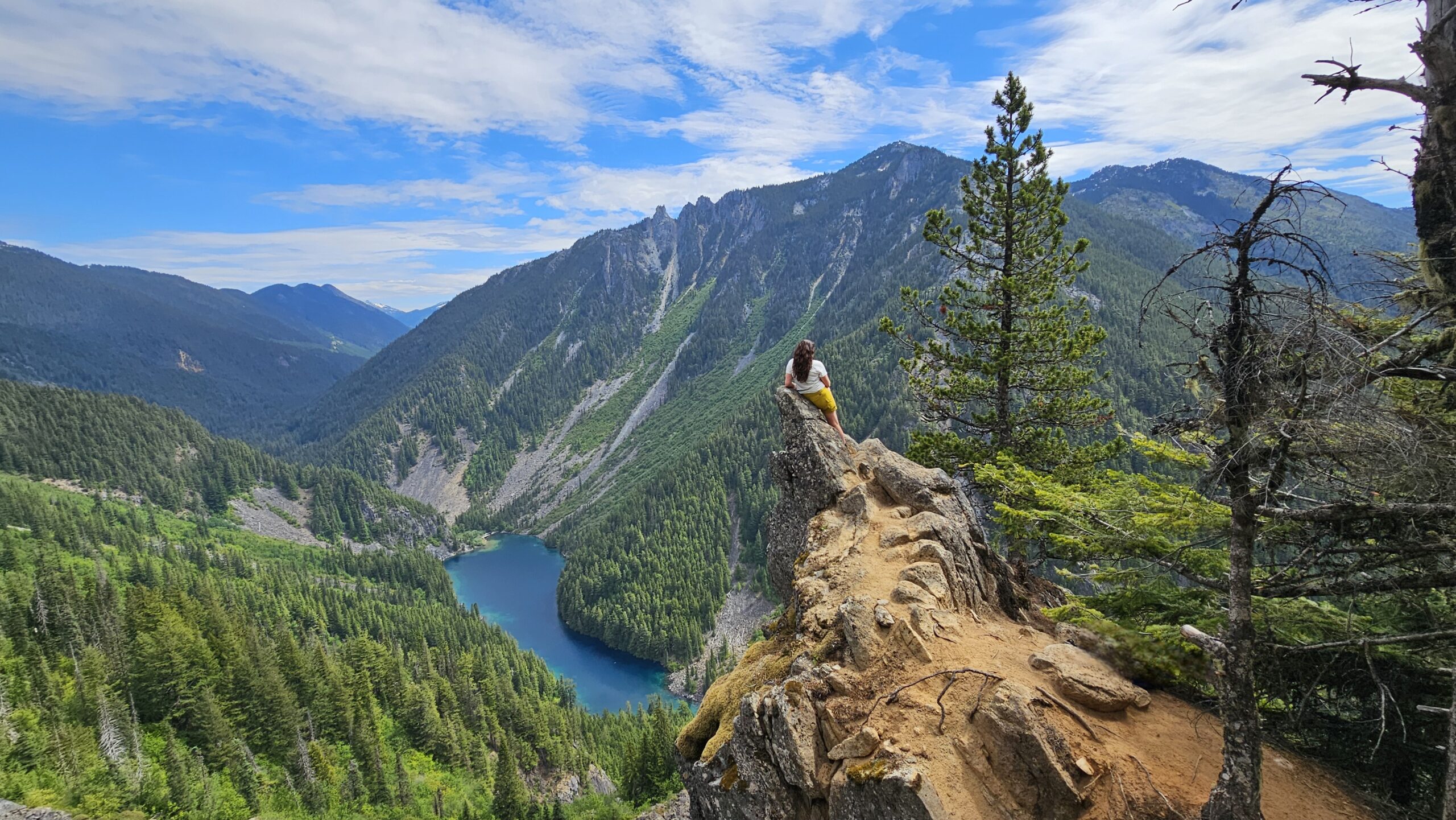
About a couple of kms in we started hiking up the ridge line. The ridge line that feels like it goes on and on forever until you get to the final push up the summit of Mt Albert Edward. Thankfully the views keep getting better and better, so the never ending ridge line is at least pretty.
The really nice thing about this trail was there were quite a few spots to refill our water. That came in handy on this really hot day. There were still a few snow patches in August still too which were nice for cooling off the body. Pro tip: Put some snow in your hat and let it melt on top of your head. So refreshing!
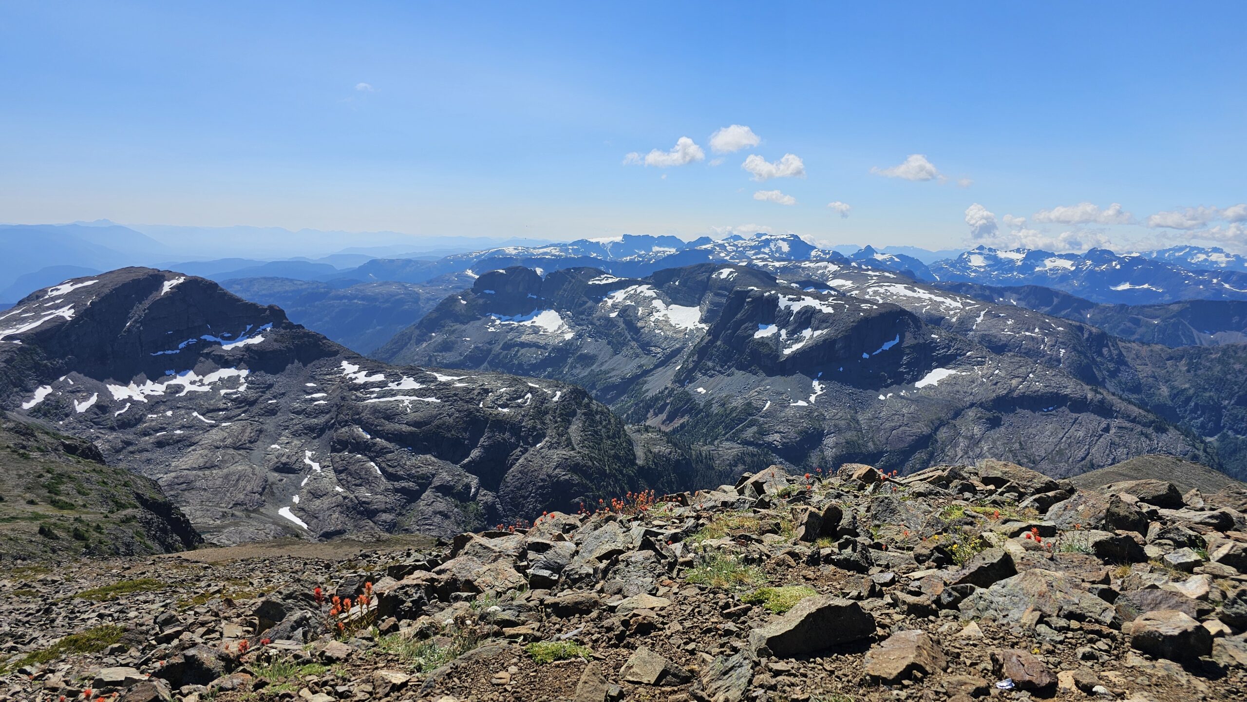
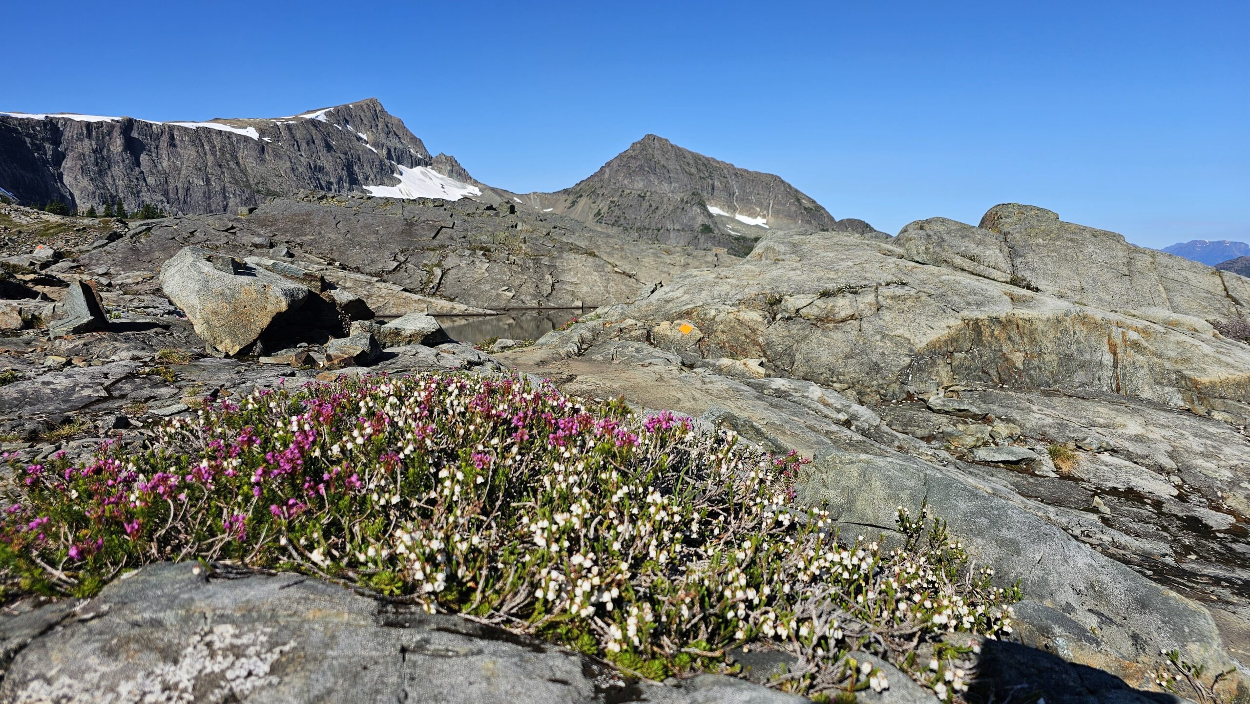
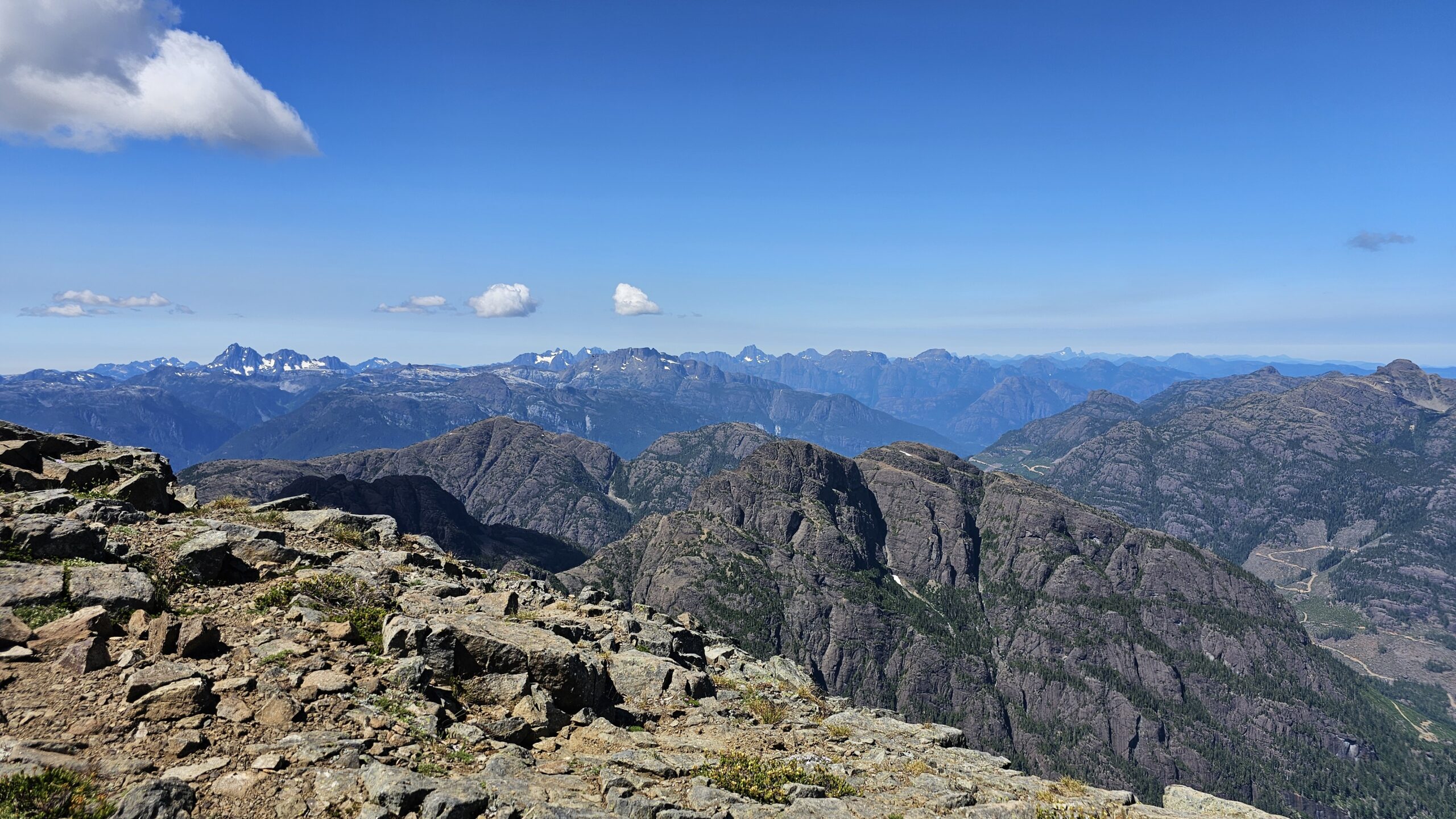
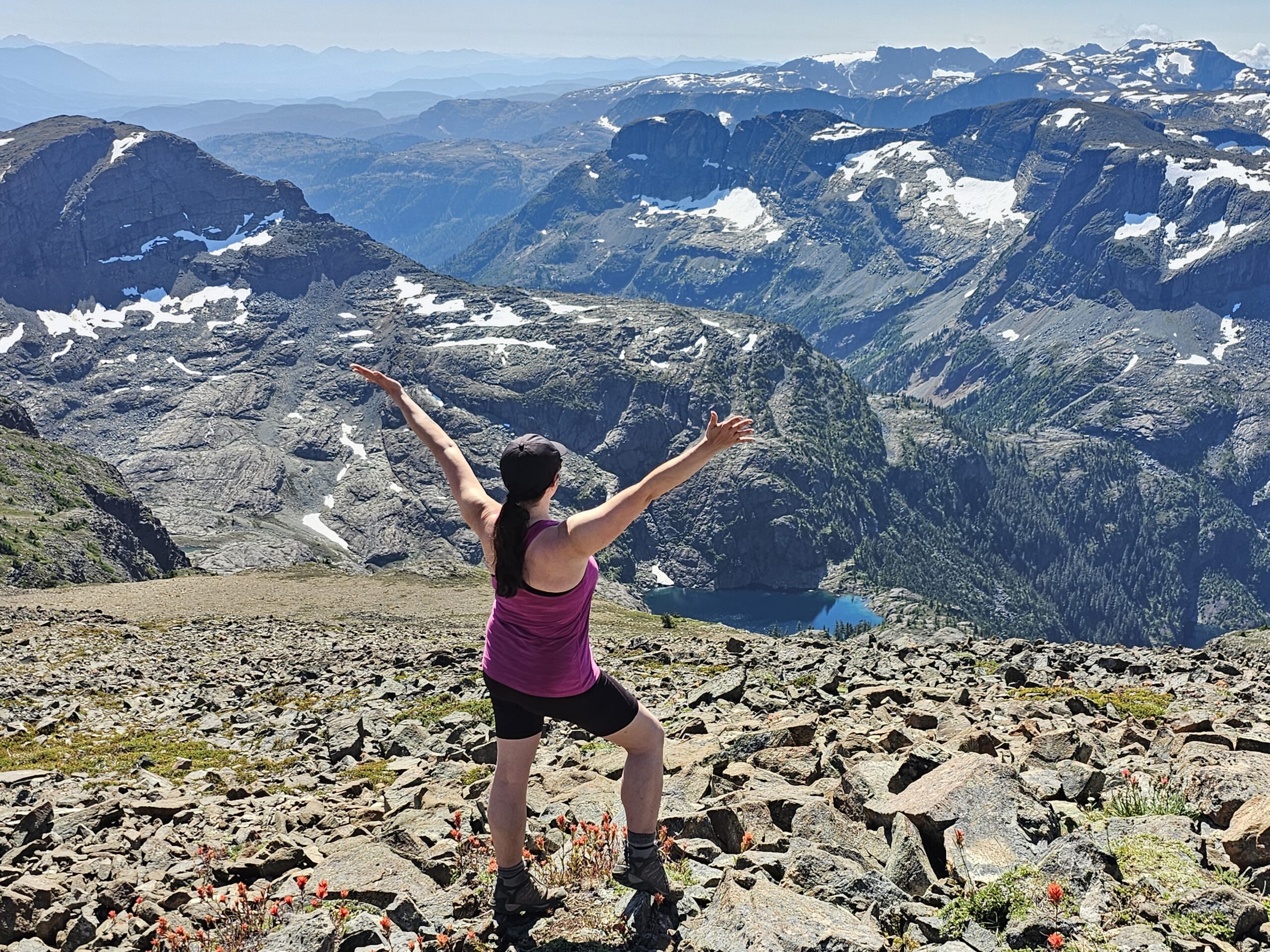
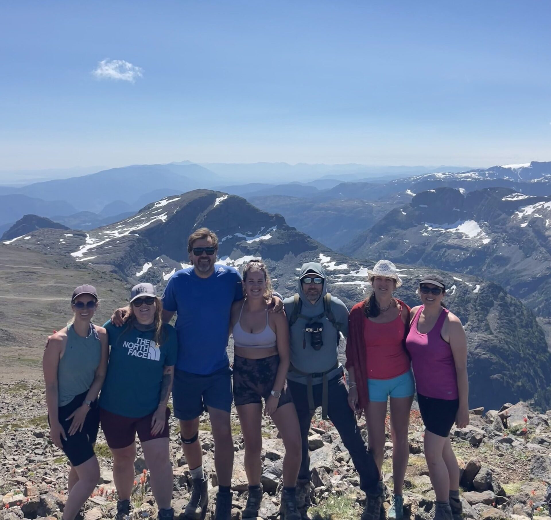
Once we reached the summit, I was blown away by 360 mountain views. I was happy I didn’t see too many photos before this trip because it all ended up being a pleasant surprise. My friend Kim who lives on the island, pointed out all of the mountain ranges I was seeing. So cool! It made me realize just how many mountains you can actually climb on Vancouver Island.
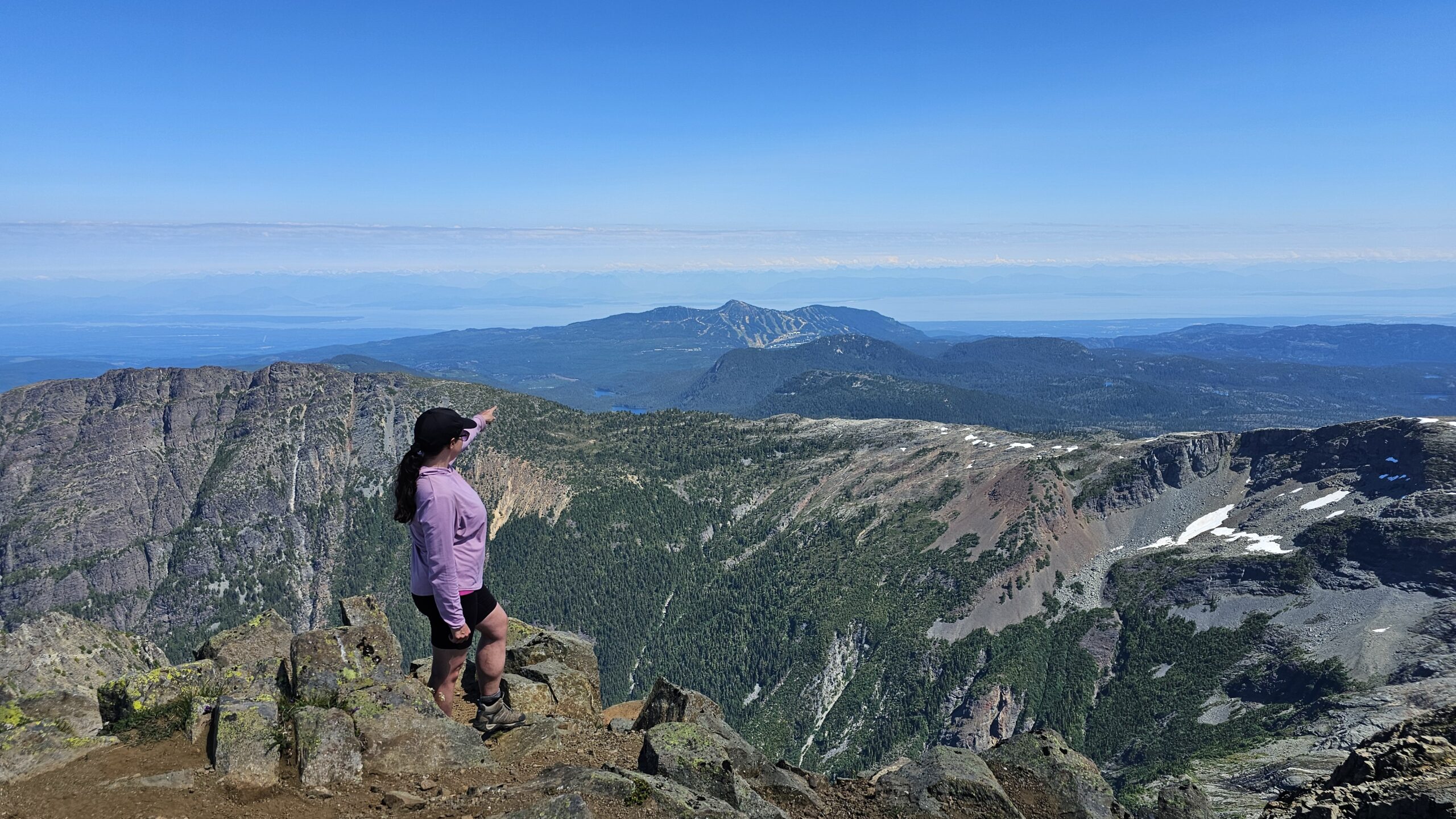
Pointing over to Mt Washington Paradise Meadows parking lot. Always cool to see how far you’ve come!
This was my favorite view of the hike.
Mt. Albert Edward is the 6th tallest peak on the island standing tall at 2093m elevation.
Hike stats return from Circlet Lake were: 14.5 km and just under 1000m elevation gain.
The hike back down was super hot and all we could think about was jumping into the refreshing cold Circlet Lake. Once we got past the never ending, but beautiful ridge line, we had to be extra careful on the steep section through the forest. Especially because by this point we were getting tired.
After the hike we wasted no time to get in that icy cold lake. We had a few hours before bed time to enjoy lots of food and good chats with our camp crew. I was already feeling a bit sad that we had to leave the next day. It’s always tough going back to “the real world” after an amazing backpacking trip.
Day 3 Hike back to Paradise Meadows Trailhead from Circlet Lake
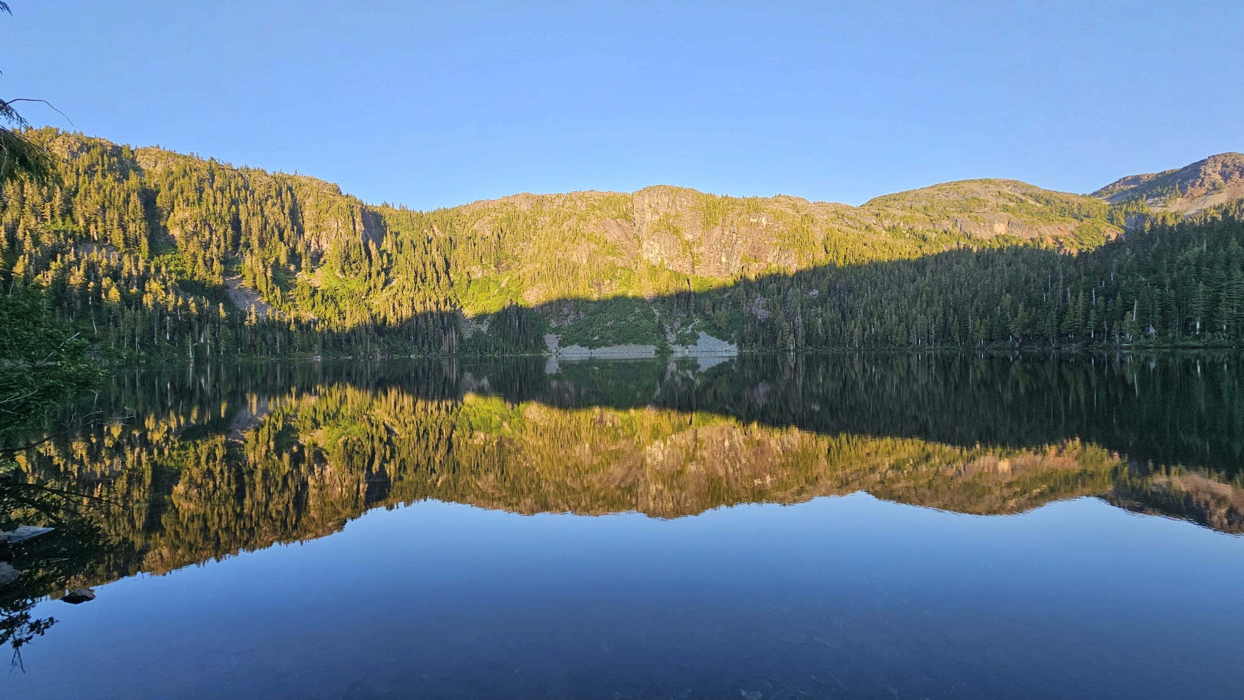
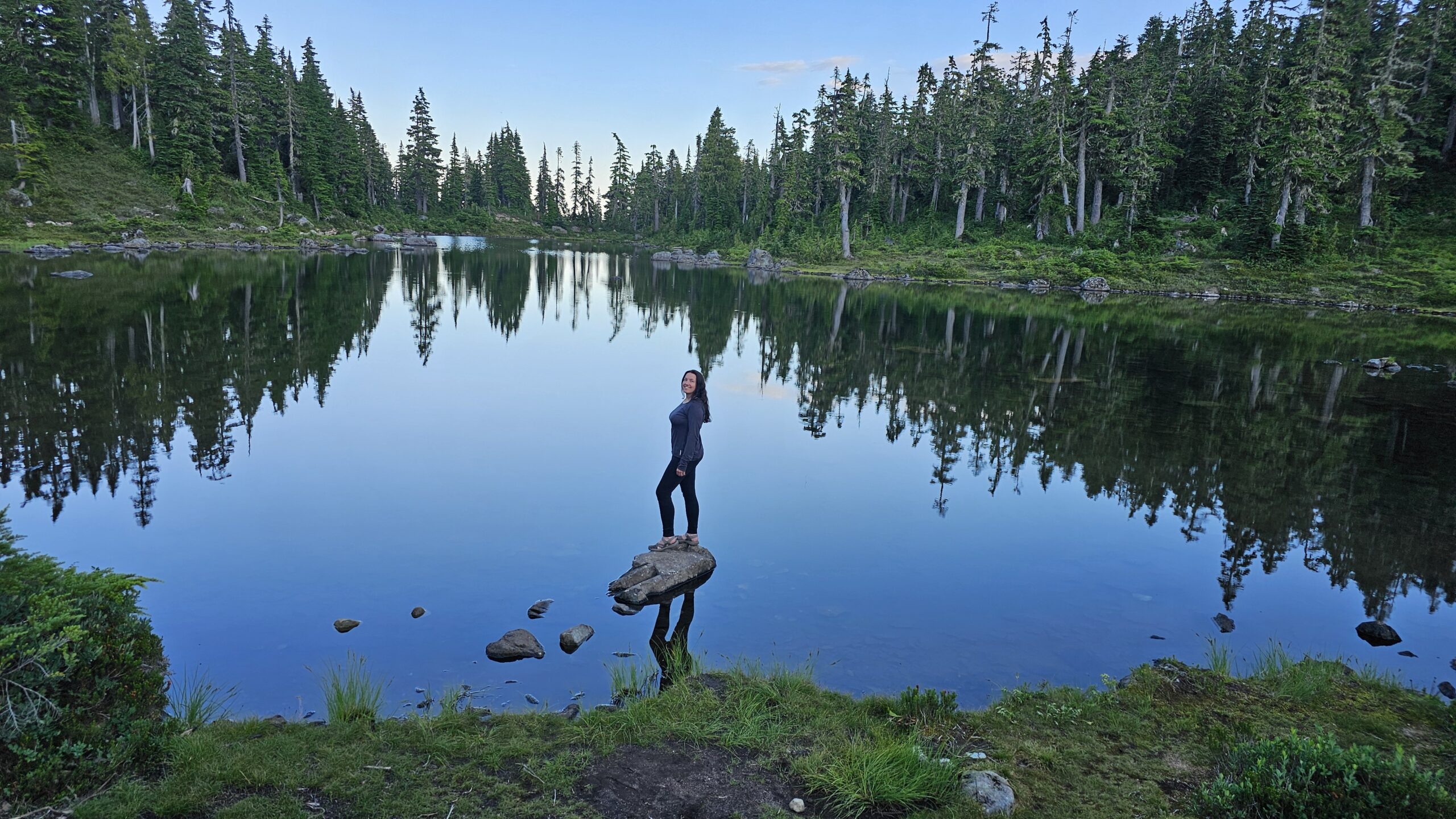
Circlet Lake at Sunrise.
On Day 3 sadly it was time to say goodbye to this magical place and hike back out. We hiked out the same way we hiked in. You could choose to switch up the route a bit and do the less direct route either on the way in or the way out if you’d like to switch up the scenery and see more of the other lakes, but both times we were happy to just take the direct route.
The hike has a little less elevation gain than on the way in but don’t be fooled, it felt tougher coming out because we were sore from the couple days of hiking the previous days.
Hike stats on the way out: 11km and 280m elevation gain.
*Please note the hiking stats are from my Strava recordings so there could be some slight discrepancies.*
Overall Thoughts on the Mt Albert Edward Backpacking Trip
Mt. Albert Edward was a great first backpacking trip in Strathcona Provincial Park. I really liked that the actual backpacking to the campground park was not too strenuous and that we were able to do the hardest part of the hike without our heavy packs. The views up top offer 360 views of the surrounding mountain peaks on Vancouver Island, many alpine lakes and the ocean! We appreciated being able to take a refreshing dip in Circlet Lake both evenings after our hot sweaty day hikes.
Check out my YouTube video to see more of the scenery:
Looking for another Vancouver Island adventure? I highly recommend taking a road trip to Tofino. Check out my trip report here: On the Road to Tofino.
When hiking always carry the 10 Essentials of hiking and of course more gear for Backpacking. Please feel free to leave a comment if you have any questions related to this hike. Thank you and have fun out there!
Leave A Comment